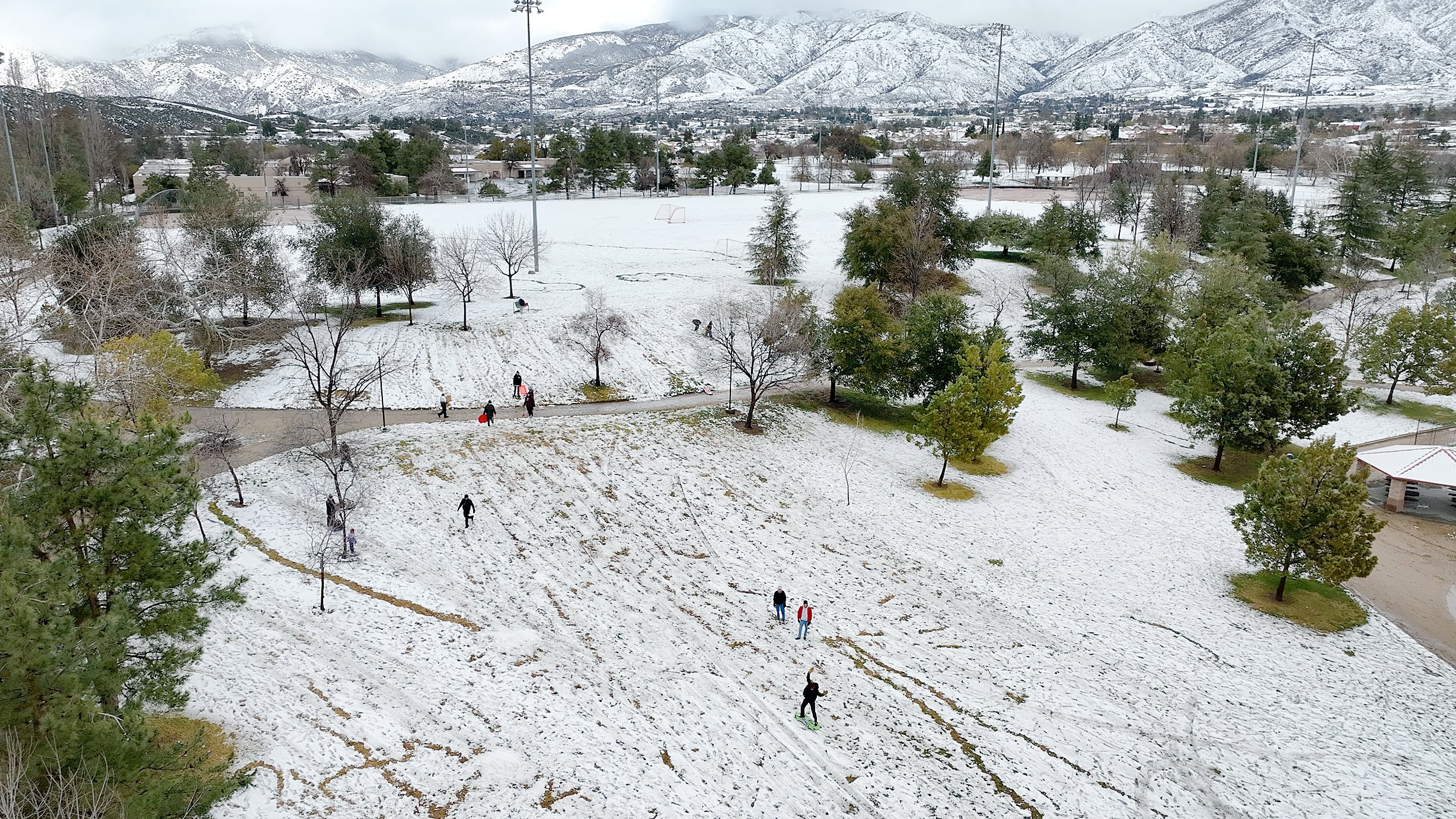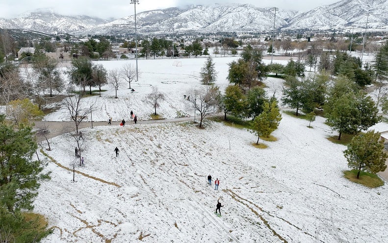
It’s not every day that snow closes roads near southern California’s city of Santa Barbara or that flakes fall on the mountain where the iconic Hollywood sign sits. Those scenes come courtesy of a powerful winter storm that is bringing unusual blizzard conditions to the southern parts of the state.
The National Weather Service’s (NWS’s) office in San Diego issued a blizzard warning for the first time in its history, and the agency’s Los Angeles office did so for the first time since 1989.
The massive storm already ushered in frigid conditions across the Pacific Northwest and gave Portland its second snowiest day on record, with 10.8 inches falling on Wednesday. As the storm has moved southward, snow, wind and colder-than-normal conditions have spread across northern California. Downtown San Francisco saw a low temperature of 39 degrees Fahrenheit for the first time since 2017, according to NWS’s San Francisco Bay Area office, and snow prompted road closures in the Santa Cruz Mountains south of San Jose.
Though winter storms are not unusual in California and often bring snow to mountain peaks in the state’s south, snowfalls there usually measure in inches. But this storm is expected to bring feet of heavy snow, says Ryan Kittell, a meteorologist at NWS’s Los Angeles office. “Snowfall amounts over our mountains could be unprecedented,” said meteorologist Alex Turdy of NWS’s San Diego office in an online briefing.
Several factors are coming together to make this such a notable event. First, the storm is pulling down air from Canada—so it is very cold. This unusually frigid air is why snow fell at surprisingly low levels in the hills around Los Angeles on Thursday, down to around 1,500 feet in elevation, Kittell says. Snows in this region typically fall above 5,000 feet. The unusually low levels of snow in this storm were the reason that State Route 154, which runs inland from Santa Barbara, had to close on Thursday, something Kittell says he can’t recall happening before. (It is unclear if it was snow or another, closely related type of frozen precipitation called graupel that fell on Mount Lee, where the Hollywood sign sits—but either would be very unusual.)
The storm will also be tapping into what meteorologists call an atmospheric river: currents of very moist air pushed by strong winds. “That’s only going to increase the rain and the snow amounts,” says Samantha Connolly, a meteorologist at NWS’s office in San Diego.
That means mountain areas will have plenty of snow for the storm’s strong winds to blow around, “creating pretty much whiteout conditions” in those areas, Connolly says. “It will be nearly impossible to travel in the mountains.” These are the conditions that mark a blizzard, which NWS classifies as a storm with large amounts of snow, winds greater than 35 per hour and visibility of less than a quarter of a mile.
In addition to the snow, large amounts of rain may fall quickly at low elevations along the coast and in valleys—and could pose flooding risks because the ground often can’t soak up water fast enough. This could particularly be an issue in urban areas, where large expanses of paved surfaces mean there is less exposed ground to absorb rain.
On a more positive note, the snowfall will likely help relieve California’s years-long drought. Much of the state’s water supply comes from its snowpack, which tops up rivers, reservoirs and groundwater as it melts in the spring. “Any snow we can get, any rain we can get,” will ease the drought, Connolly says.

